
Whitewater Rivers in Jackson Hole
Guide to Local RapidsNavigate the region’s premier whitewater
The Greater Yellowstone region offers whitewater from accessible Class II–III runs perfect for building skills to expert-only Class IV-V descents that challenge seasoned boaters. Below are the area’s runs with flow character, ratings, access logistics, and honest assessments of what each demands.
This reflects three decades of paddling these rivers professionally: realistic difficulty, seasonal timing, current flow recommendations, and the local knowledge that separates a great day from a bad one. Always check the River Report before any whitewater trip, and Call: (307) 733-2471 with questions about a specific run or level.
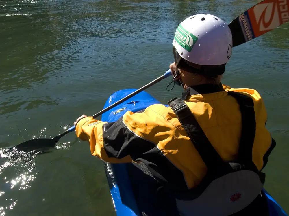
Safety Note: Whitewater carries inherent risk. The information below is for experienced paddlers with appropriate skills, gear, and judgment. If you’re new to whitewater or these rivers, start with a guided trip or a course before running anything independently.
Whitewater Risk Overview
Gros Ventre River: Slide Lake to Park Boundary
Technical Runoff Challenge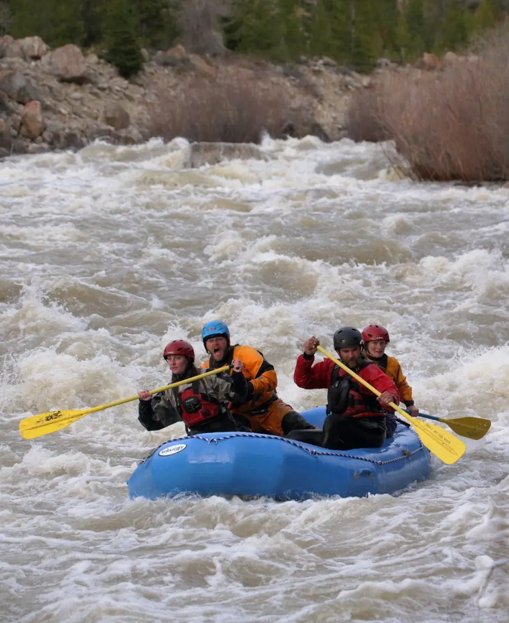
Description
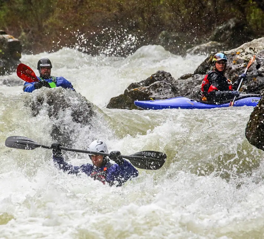
The Gros Ventre’s upper section is one of the area’s most technical and committing short runs. Continuous Class III+ with several distinct IV- moves at normal flows, turning to legitimate Class IV above 4 feet on the gauge. It runs through a narrow canyon with limited eddies and few places to scout or portage – once you’re in, you’re committed to running everything. It shines during consistent spring runoff, and the short length makes it ideal for laps or pairing with another run. Solid Class III+ skills and confident boat-scouting are the minimum.
Directions
From Jackson, drive east on Hwy 191/89 toward Dubois. Turn right on Gros Ventre Road and follow it ~12 miles to Slide Lake. Put in below the lake outlet; take out at the Gros Ventre park-boundary bridge.
Best For
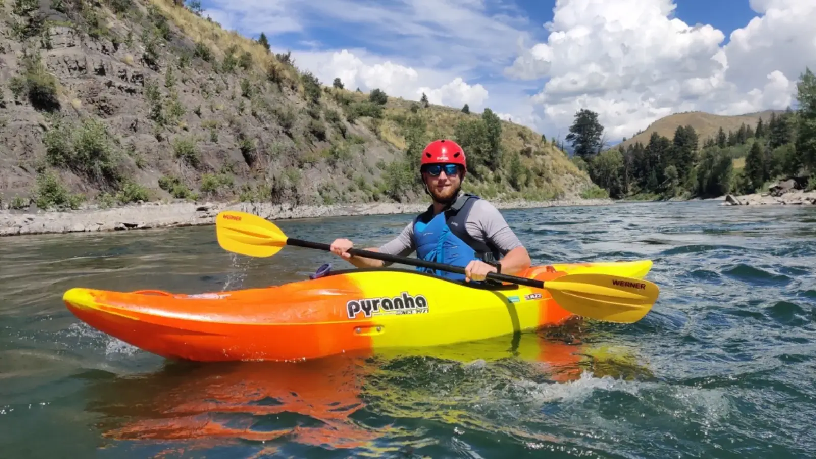
Experienced kayakers seeking a technical challenge, skill-building for harder rivers, spring runoff laps.
Hoback River: Granite Creek to Snake River
Classic Intermediate Whitewater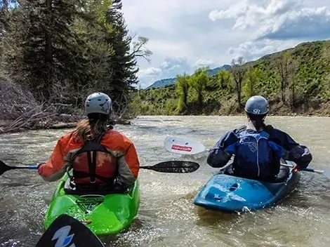
Description
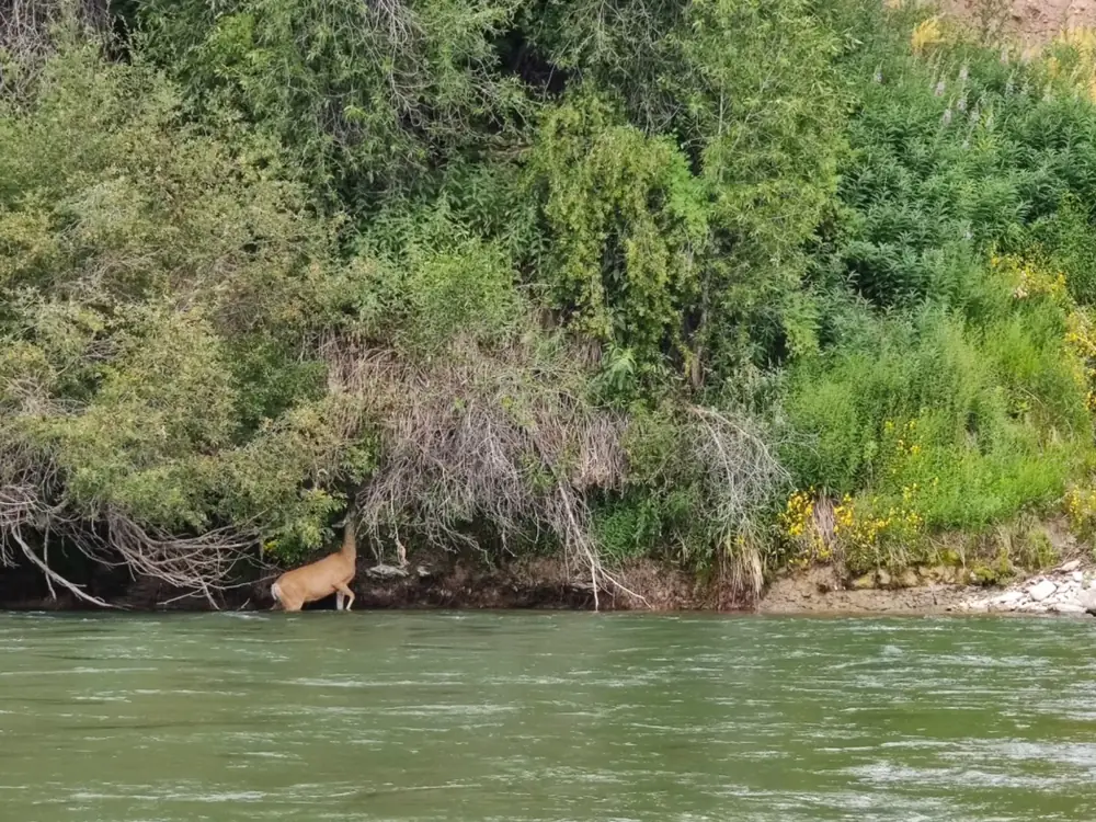
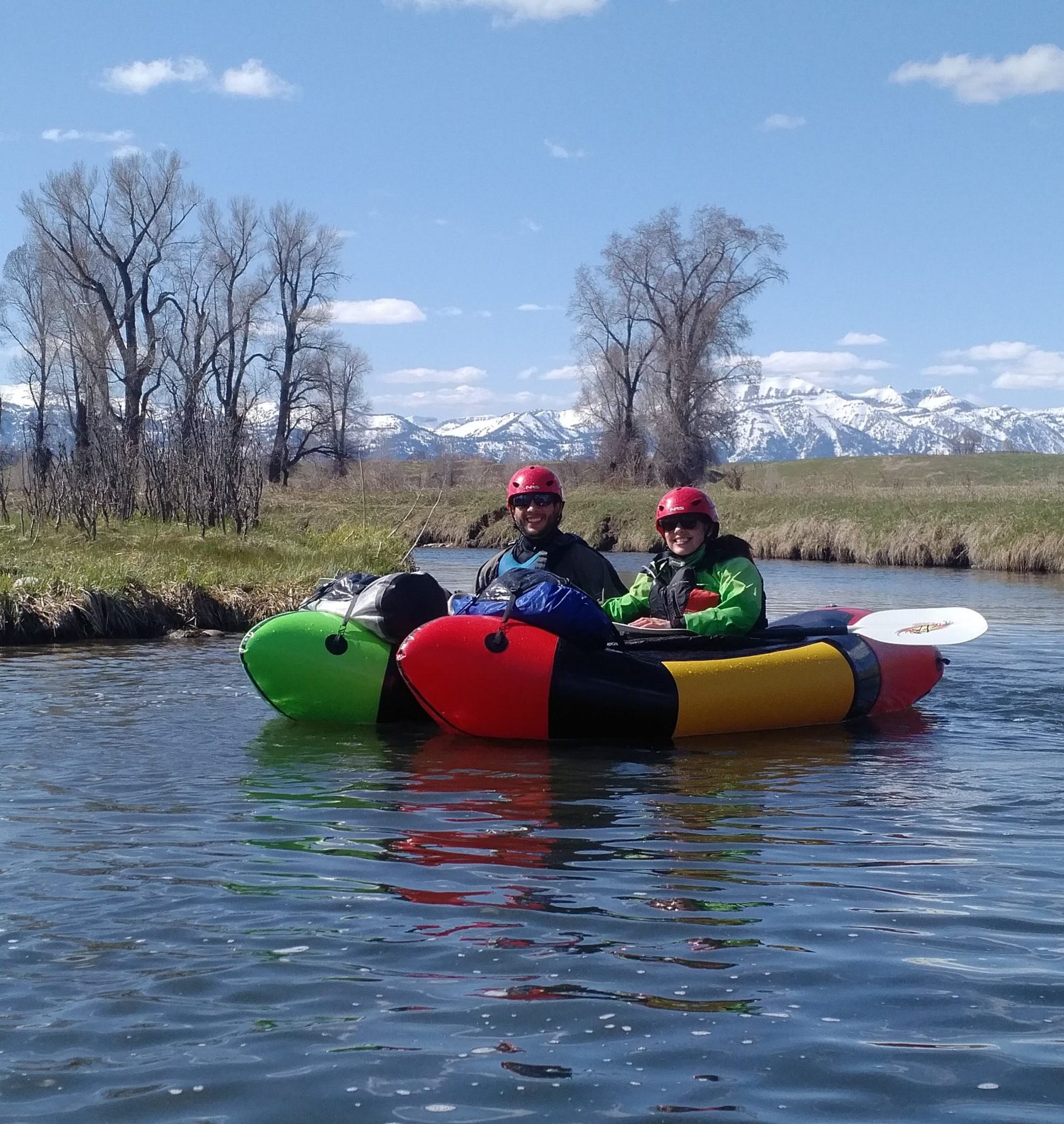
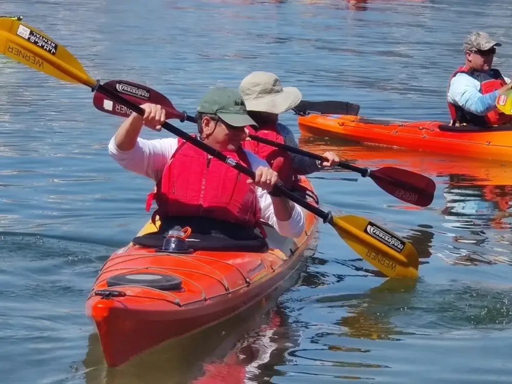
Excellent intermediate whitewater through canyon scenery. At lower late-summer flows, expect continuous Class II+ with occasional III- during high water in May-June it pushes to solid Class III with bigger waves and more consequential lines. Good for intermediate kayakers building confidence, inflatable-kayak trips with skilled paddlers, and paddle rafts wanting consistent action without extreme difficulty. Wildlife viewing is strong – watch for moose, deer, eagles, and the occasional bear along the forested canyon.
Directions
From Jackson, drive south on Hwy 191/89 toward Hoback Junction, then continue south on Hwy 191 past the junction. Turn left on Granite Creek Road for put-in access. Several take-outs sit along the Hoback before its confluence with the Snake.
Best For
Intermediate kayakers, inflatable-kayak adventures, paddle rafts, skill progression, scenic whitewater.
Granite Creek: Granite Falls to Hoback River
Short spring run
Description
A pleasant Class III- warm-up or cool-down during runoff. The short mileage and moderate difficulty make it ideal for multiple laps, for introducing paddlers to Class III water, or for filling an afternoon when other rivers aren’t at their best. Continuous but manageable rapids keep you engaged without overwhelming, through beautiful forested terrain with good wildlife habitat. Access is straightforward and the short shuttle keeps logistics simple.
Directions
From Jackson, drive south on Hwy 191/89 past Hoback Junction, then turn left onto Granite Creek Road. Put in just below Granite Falls; take out where Granite Creek meets the Hoback.
Best For
Class III skill-building, runoff laps, quick sessions, introducing paddlers to continuous whitewater.
Snake River: South Park to Astoria Hot Springs
Scenic Intermediate Run16 miles to take-out
Description
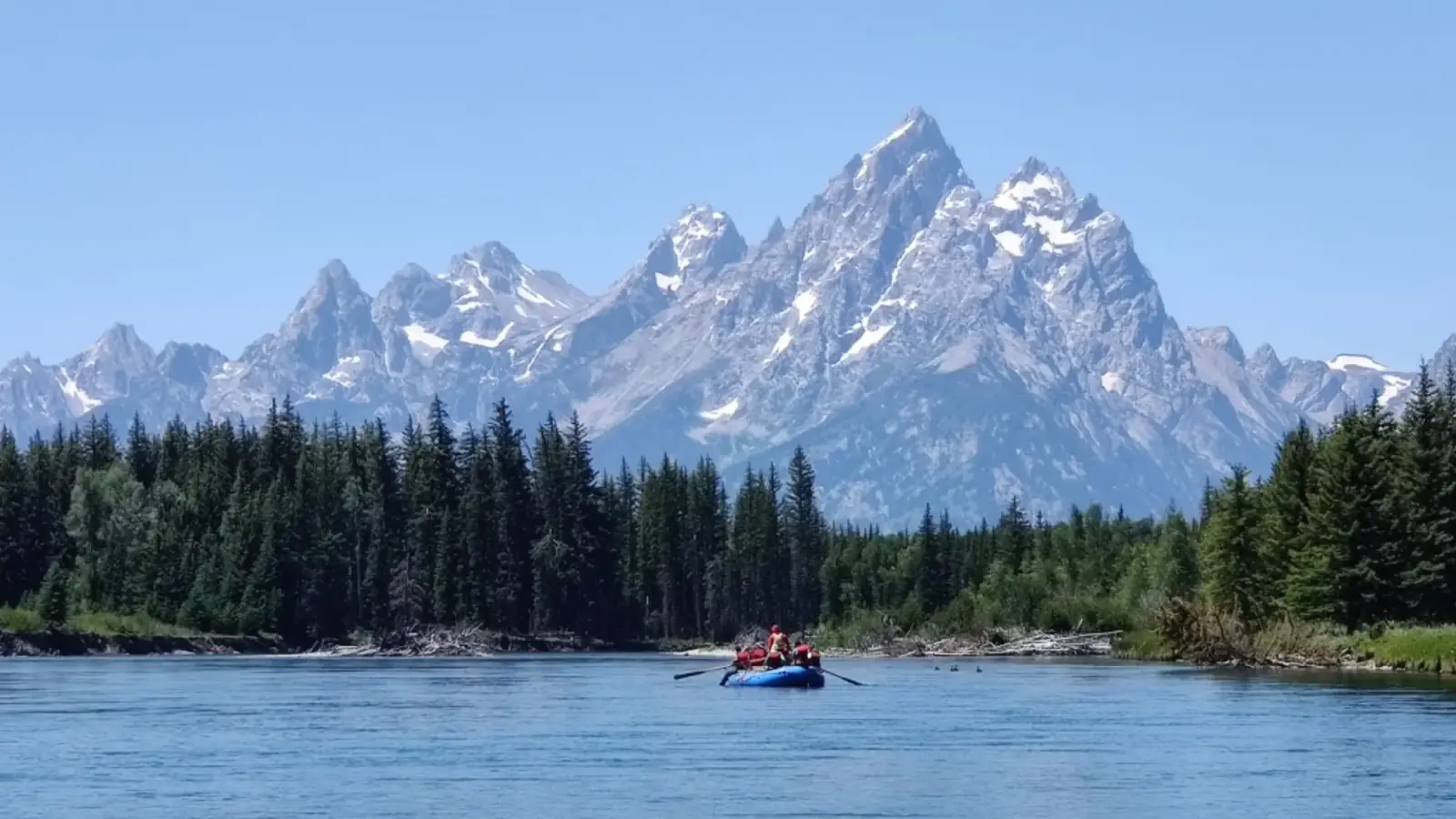
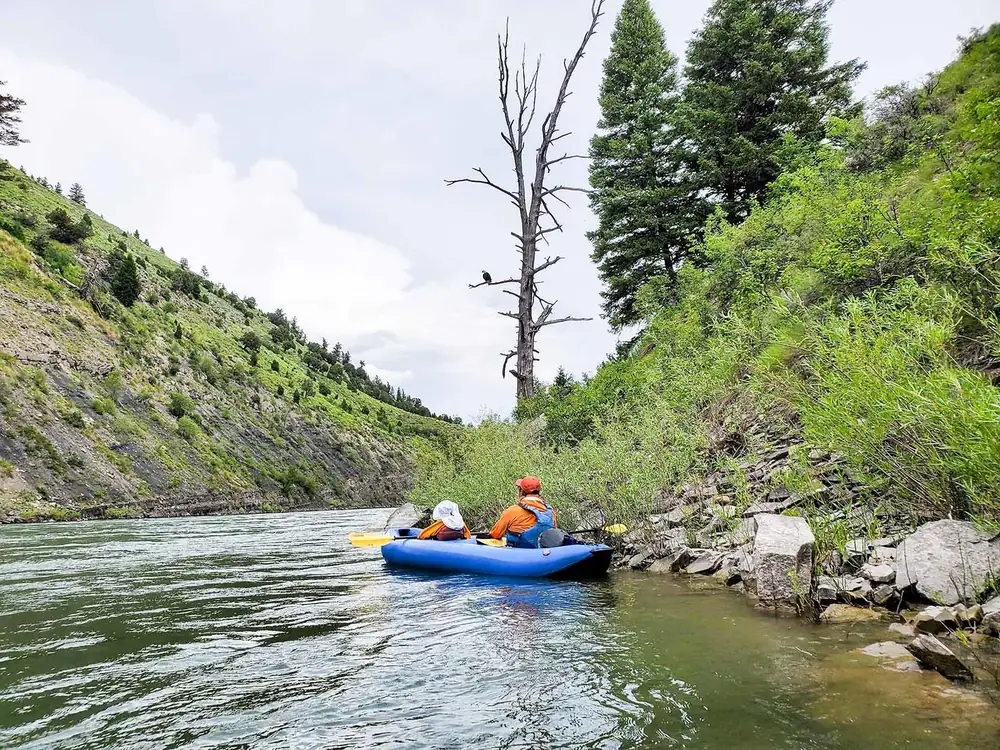
This section bridges scenic floats and serious whitewater – continuous Class II with Teton and Gros Ventre Range views. At normal summer flows expect fun wave trains, mellow rock gardens, and straightforward lines for developing intermediates. During spring high water, currents turn very strong with bigger waves and pushier hydraulics, though difficulty rarely exceeds strong Class II. A local favorite for its year-round accessibility when other runs are frozen or dangerously high.
Directions
From Jackson, drive south on Hwy 191/89. Turn right toward Wilson and continue to South Park bridge to put in. Take out at Astoria Hot Springs (a fine post-paddle soak) or continue downstream.
Best For
Developing intermediate skills, scenic paddling with some action, families in appropriate craft, year-round paddling.
Snake River: West Table to Sheep Gulch
Classic Jackson Hole Run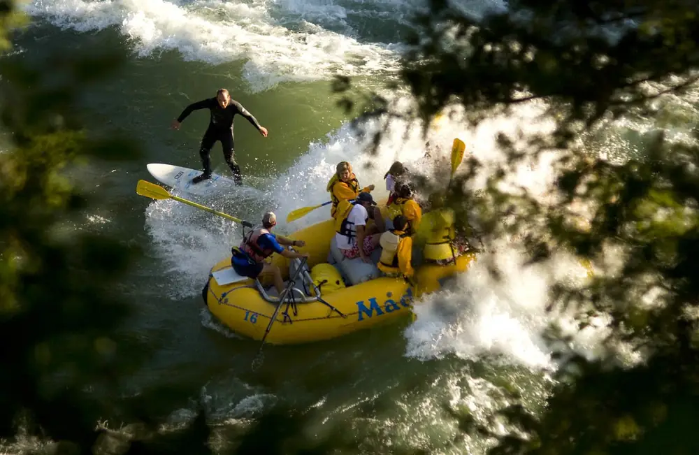
Description
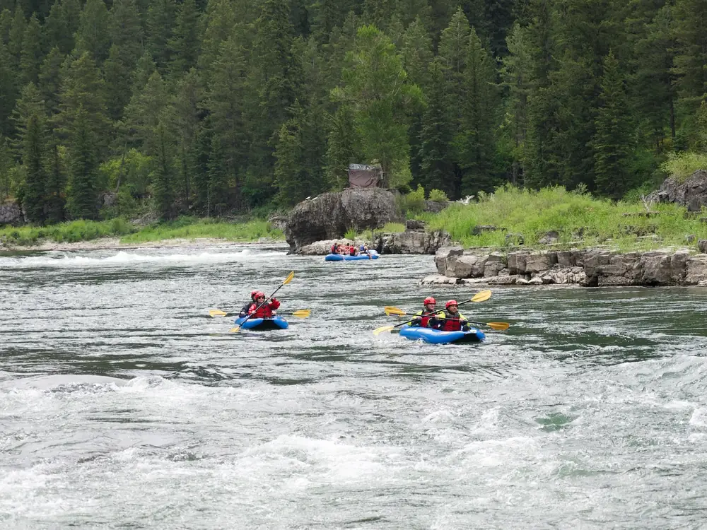
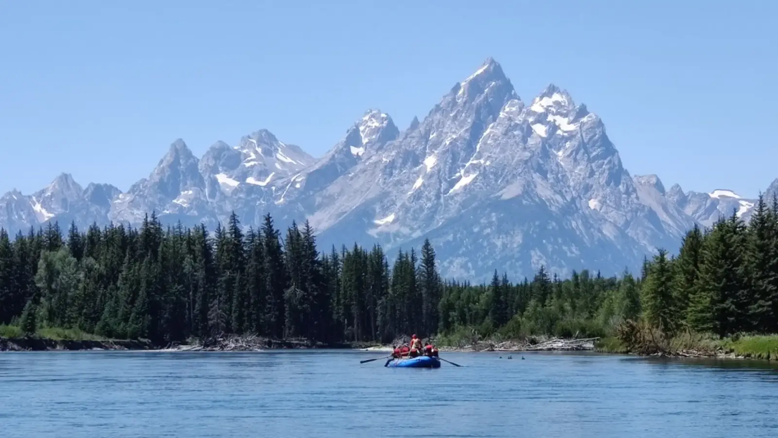
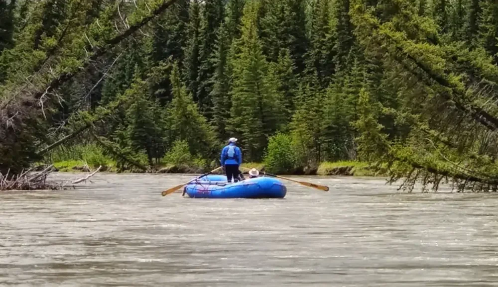
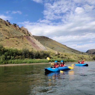
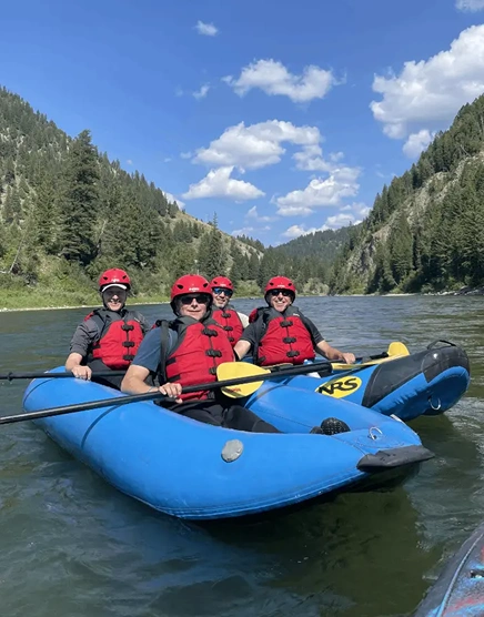
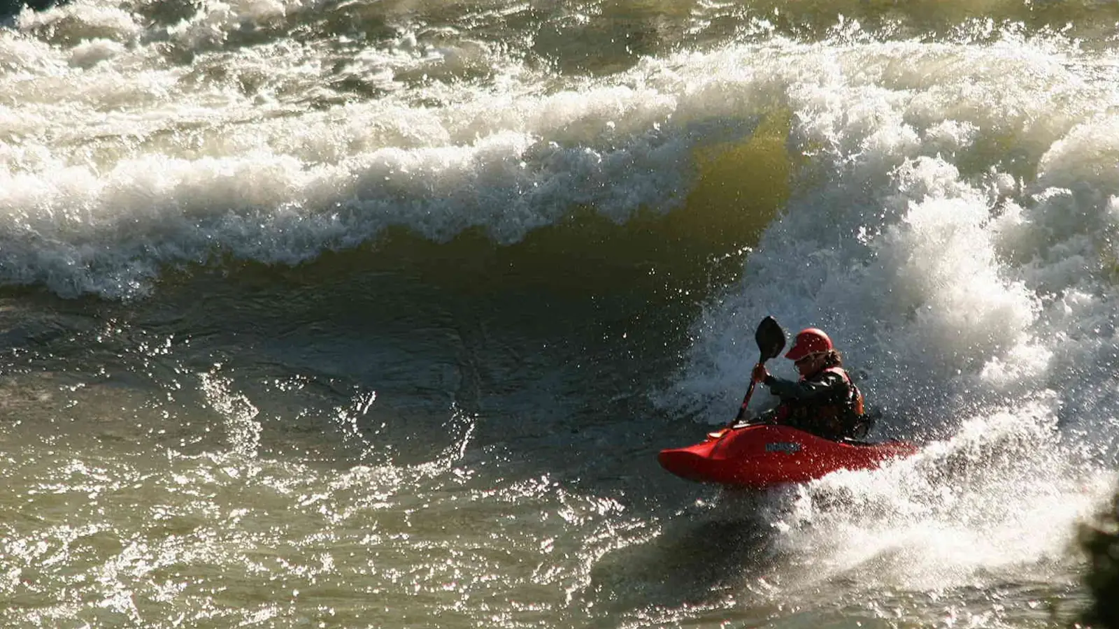
The Snake River Canyon, West Table to Sheep Gulch, is Jackson Hole’s most famous and accessible Class III whitewater – the run in countless river photos, the section our daily inflatable-kayak trips explore, and where thousands of paddlers get their first real whitewater. Named rapids include Rope, Champagne, Big Kahuna, and Lunch Counter, each with its own character. At typical summer flows (4,000-8,000 cfs), expect solid Class III with big waves and lines that reward good technique. During spring runoff (15,000+ cfs), certain rapids push into Class IV with enormous wave trains and keeper holes that demand experience. The 8 miles offer substantial river time, multiple surf and play spots, and spectacular canyon scenery.
Directions
From Jackson, drive south on Hwy 191/89 past Hoback Junction, then continue on Hwy 26 toward Alpine. Put in at the West Table boat ramp; take out at Sheep Gulch or continue downstream.
Best For
The classic Jackson Hole whitewater experience, inflatable-kayak adventures, solid Class III paddling, play boating, commercial and private rafts.
Greys River: Squaw Creek to Bridge Campground
Short, Intense Technical Run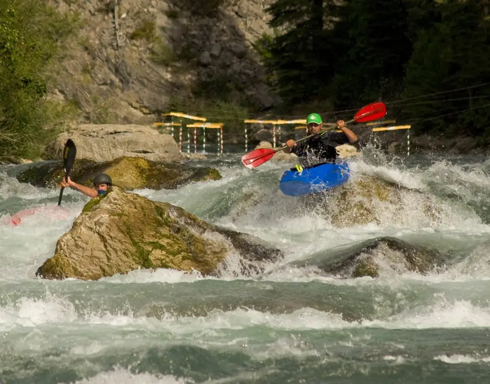
Description
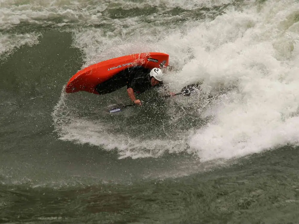
The Greys packs intense whitewater into two miles – perfect for laps but demanding respect. At moderate flows (2-4 ft), expect continuous Class III/IV with technical moves and tight lines. Above 4 ft it becomes Class IV/V- with powerful hydraulics and must-make moves. This is expert paddling: solid Class IV skills, a reliable roll, and sound judgment. The remote location means self-sufficiency – carry rescue gear and first aid and be prepared to handle emergencies without quick outside help.
Directions
From Jackson, drive south on Hwy 191/89, then south on Hwy 89 past Alpine. Turn left on Greys River Road and follow ~20 miles to Squaw Creek. Put in at the Squaw Creek confluence, take out at Bridge Campground.
Best For
Expert kayakers only, Class IV/V skill development, short but intense whitewater, spring-through-fall laps.
Teton River: Highway 33 to Felt Power Plant
Idaho Class IV-V Run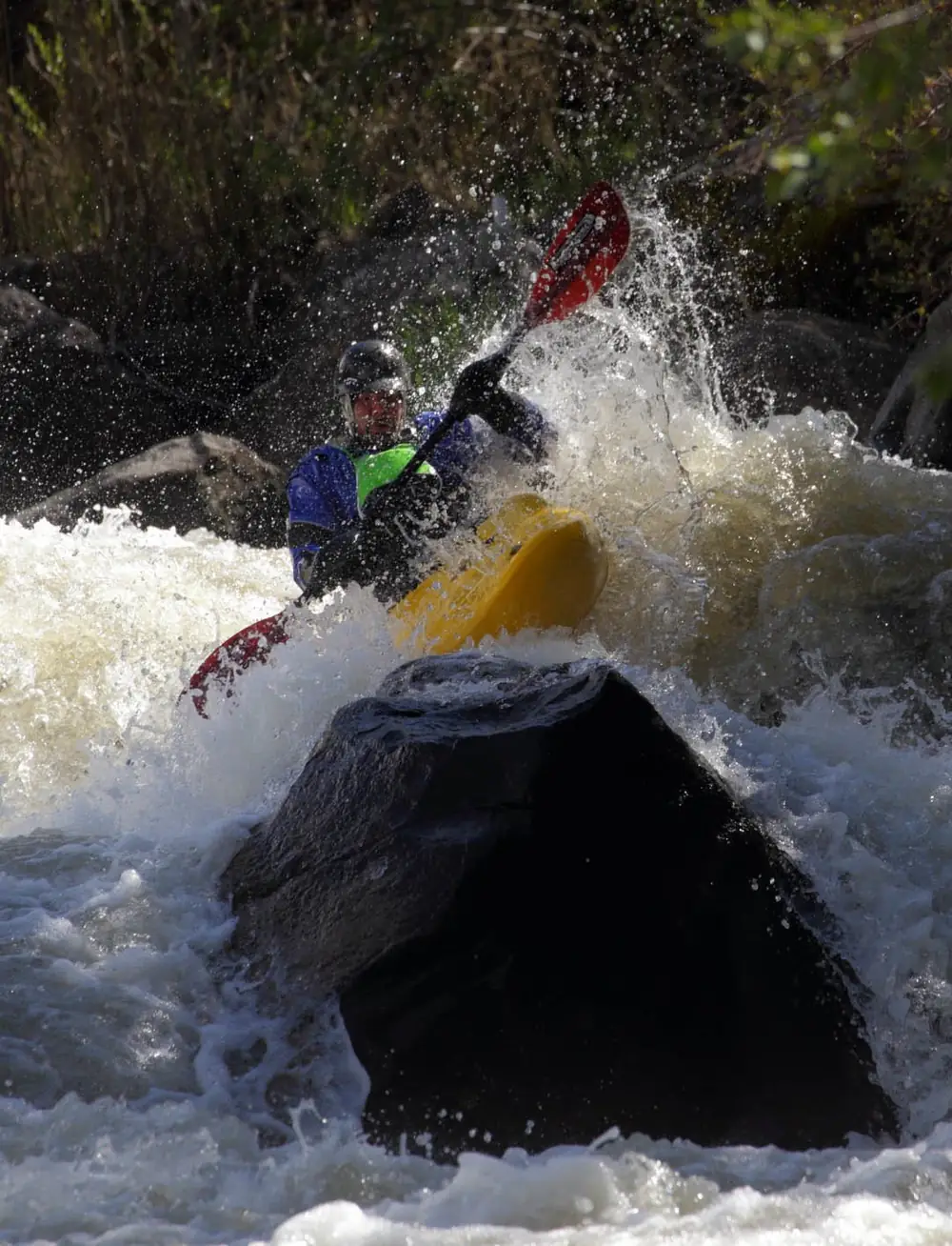
Description
On Idaho’s west side of the Tetons, this is one of the region’s most challenging and rewarding runs. Continuous Class IV-V demands expert skills, a reliable roll, sound judgment, and strong boat control. Several rapids require scouting and carry serious consequences. Spring flows (April-June) bring the most water and biggest whitewater; later season (July-October) is lower and more technical, with exposed rocks and precise lines. Only attempt it if you’re solidly comfortable on Class IV, have a reliable combat roll, paddle with competent partners, carry rescue gear, and understand the commitment.
Directions
From Jackson, drive over Teton Pass to Victor, ID. Turn right (north) on Hwy 33 toward Driggs. Put in at the Hwy 33 bridge; take out at Felt Power Plant. Shuttle requires two vehicles or coordinated rides.
Best For
Expert kayakers seeking challenging Class IV–V whitewater, advanced skill progression, scenic Idaho Teton views.
Bitch Creek: Highway 32 Bridge to France Boat Ramp
Remote Expert-Level Adventure
Description
One of the region’s most remote and committing runs. Thirteen wilderness miles mean long paddle time and real distance from help. Continuous Class III-IV with occasional Class V moves at certain flows demands expert skills, self-sufficiency, and strong judgment. Wildlife viewing in the canyon is excellent – moose, deer, bears, and eagles are common. The commitment is significant: once you put on, you’re finishing. Reading the put-in bridge gauge is critical – below 3 ft means lots of scraping, well above means big, pushy water. Only run it with experienced partners, rescue gear, wilderness first-aid skills, and backup plans.
Directions
From Jackson, drive north through Grand Teton National Park and continue north on Hwy
Best For
Expert kayakers seeking remote wilderness whitewater, self-sufficient paddlers comfortable with commitment, spring runoff adventures.
Stewardship That Lasts
Conservation & StewardshipRendezvous River Sports is BEST CERTIFIED for four decades of stewardship.
These wild rivers exist as they do because people fought to preserve them. We honor that legacy through Leave No Trace, preventing the spread of aquatic invasive species (Clean Drain Dry, Play Clean Go), guest education, and support for organizations protecting the Greater Yellowstone Ecosystem.
Learn More: